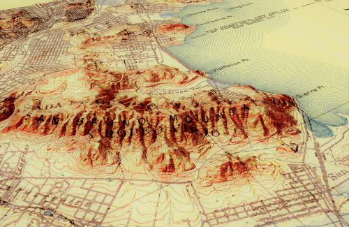
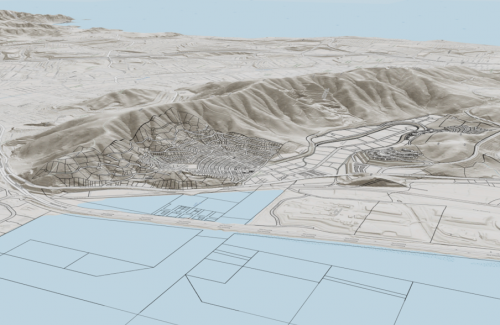
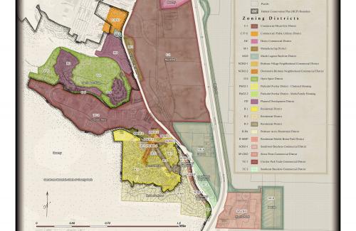
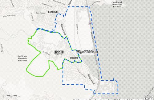
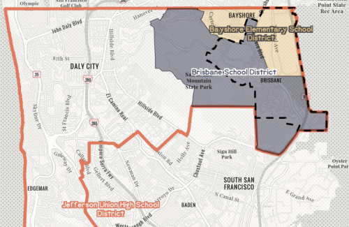
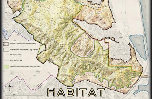
Brisbane Maps
What is GIS?
GIS stands for geographic information systems, and is a system that creates, manages, analyzes, and maps all types of spatial data. GIS connects location data (where things are) with all types of descriptive information (what things are like there).
See below for links to Brisbane-specific maps and Story Maps, created using GIS software.
The City will continue to add content to this page as it expands its GIS program.