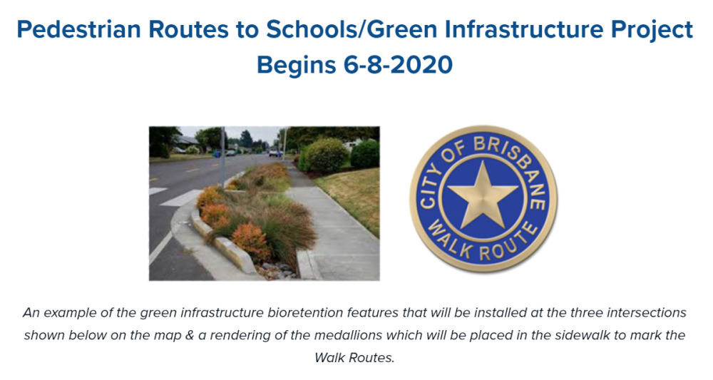
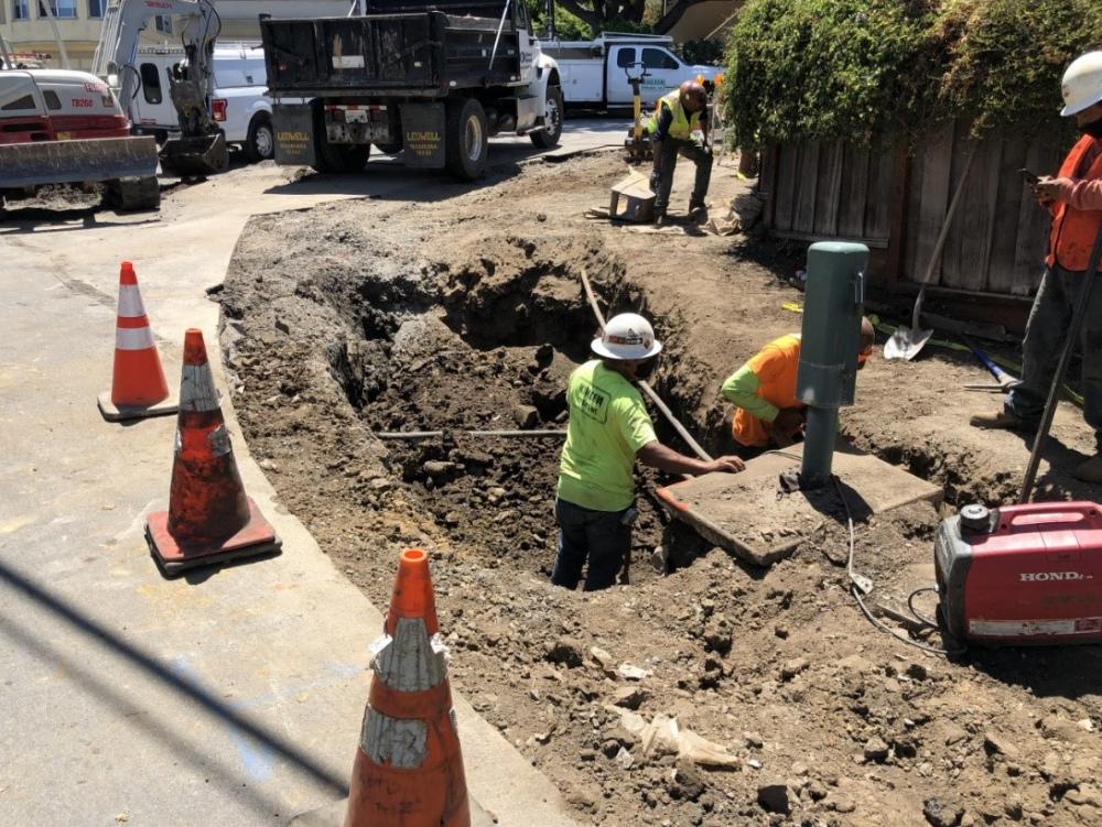
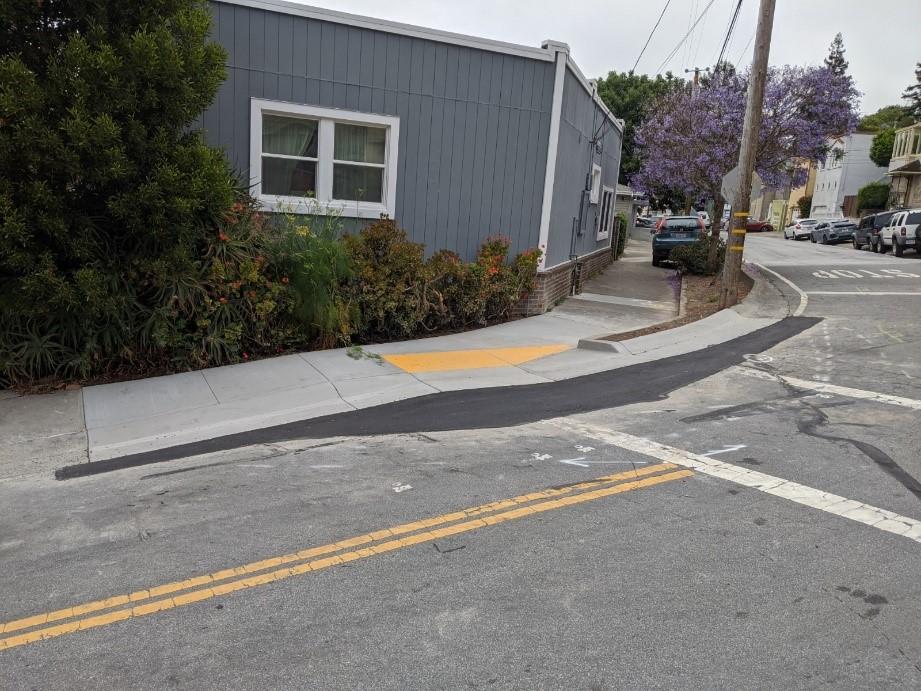
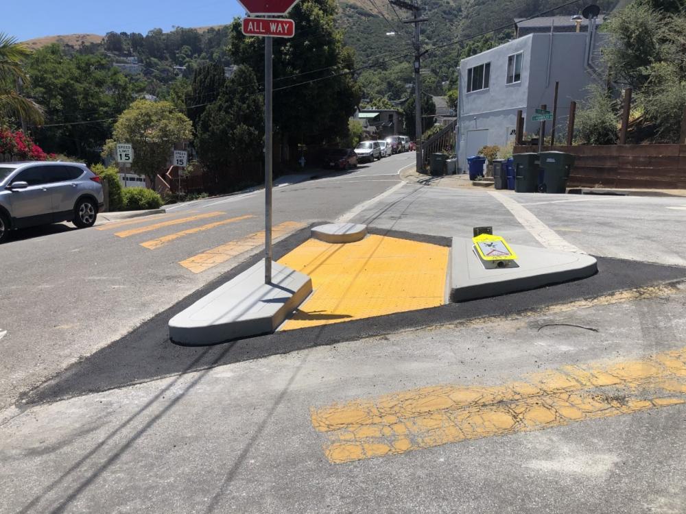
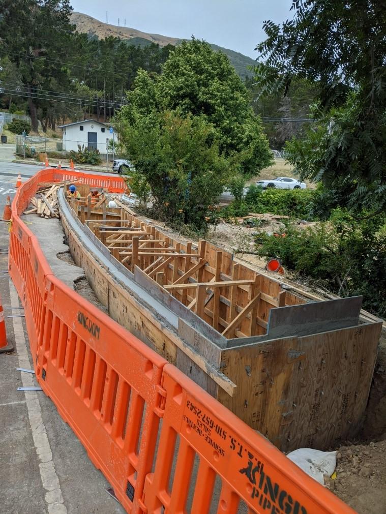
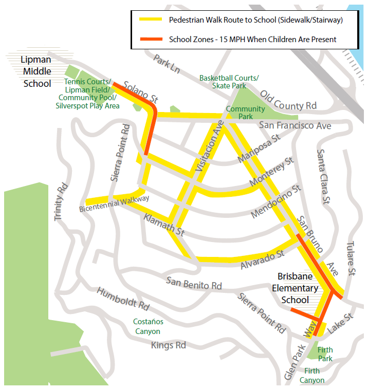
Pedestrian Routes to Schools/Green Infrastructure Project
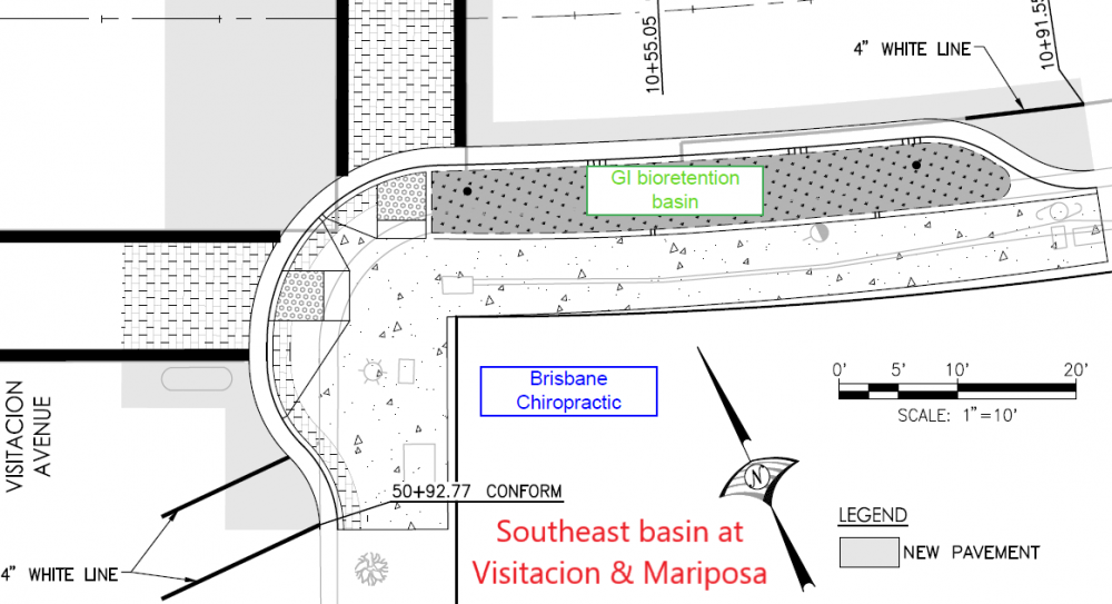
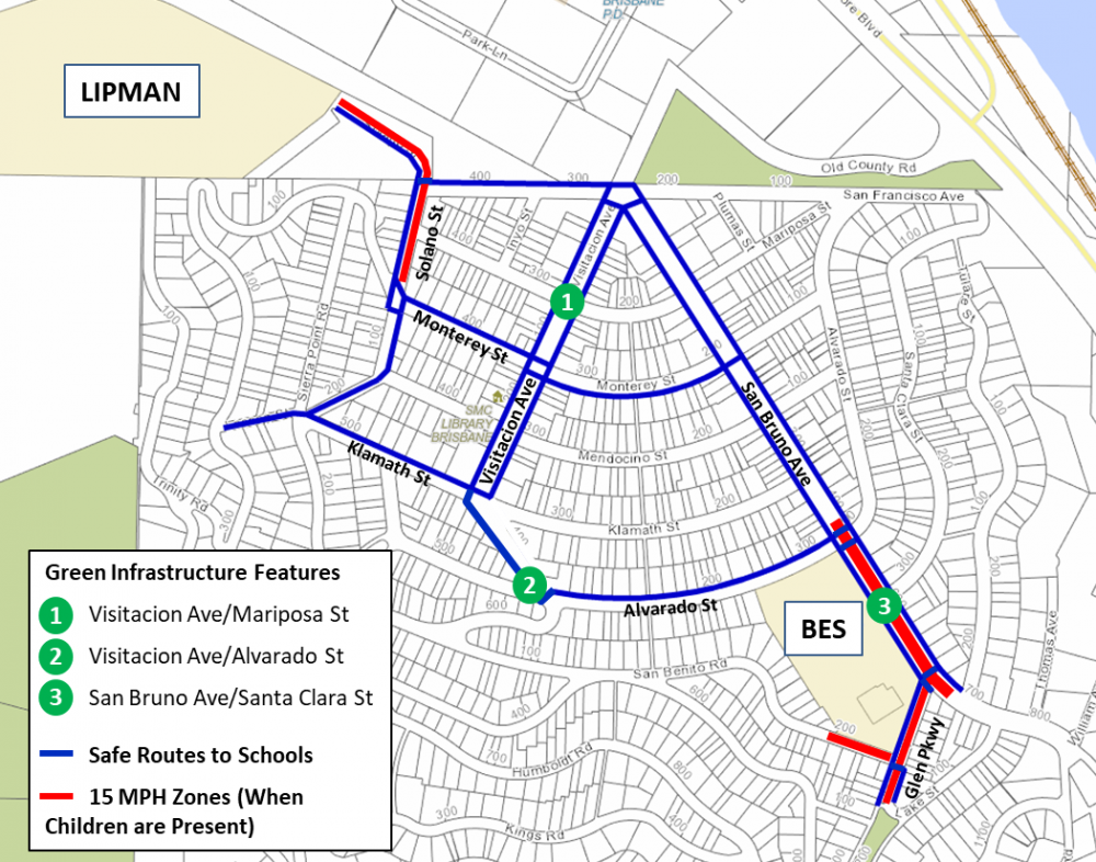
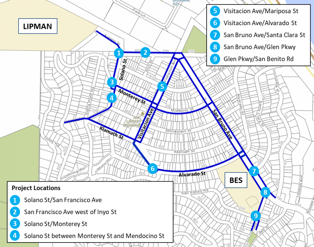
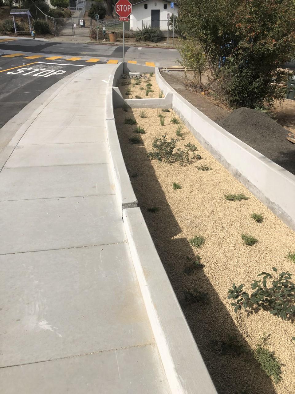
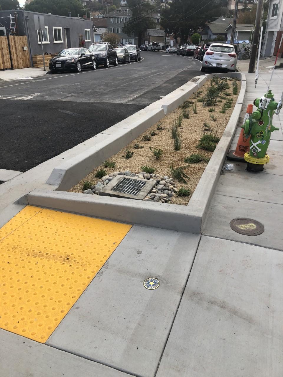
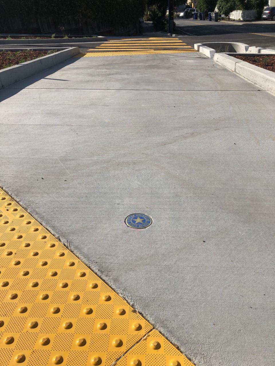
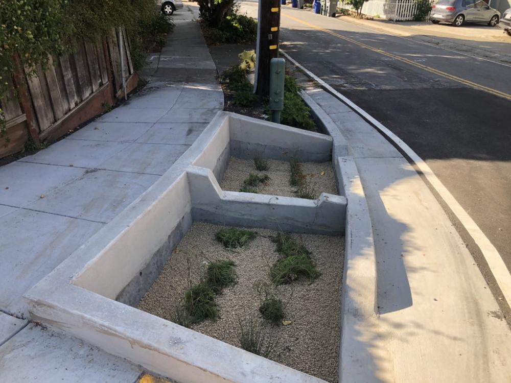
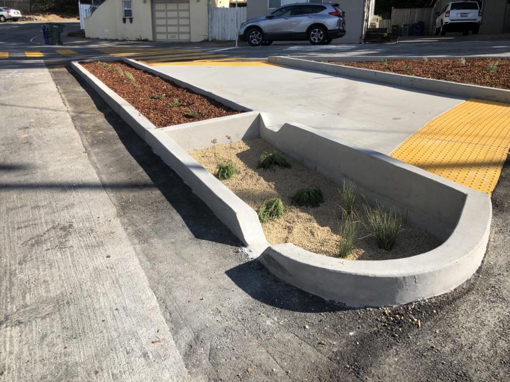
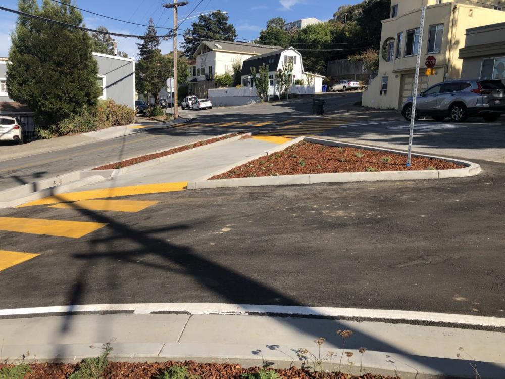
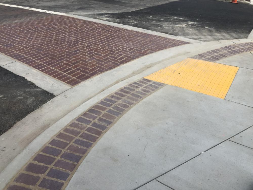
Pedestrian safety improvements include new curb ramps, re-striped intersections and signage, and insetting wayfinding markers denoting the Walk Routes to Schools. Green infrastructure bio-retention basins, or bioswales, are located at three different intersections along the Walk Routes - Visitacion & Mariposa, Visitacion & Alvarado, and San Bruno & Santa Clara. These bioswales are filled with a myriad of drought-tolerant plants, and they capture and treat stormwater before it enters the San Francisco Bay.
This project is designed to enhance walking conditions for students walking to school and for pedestrians of all ages, as well as improve stormwater quality and reduce pollutant loads in the Bay. See a video that was produced in 2020 when the project wrapped up.