Other Plans and Documents
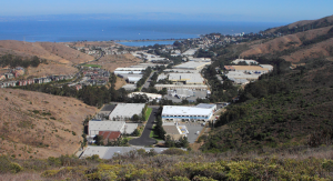
Crocker Industrial Park Technical Assistance Panel
In January 2014, the City of Brisbane partnered with the San Francisco chapter of the Urban Land Institute (ULI) to hold a Technical Assistance Panel (TAP) exploring land use and design issues at Crocker Industrial Park. The City identified several specific questions for the TAP to address which included:
- What are viable long-term land use and design options for Crocker Park?
- Can Crocker Park be made more diverse and economically resilient through the creation of subdistricts (including residential) for land use/marketing/business clusters, and how might subdistricts be differentiated?
- What design considerations should be considered for the planned mixed use opportunity site to take advantage of its key location at the entry to the City and proximity to the Community Park and Brisbane Village Shopping Center?
- What land use options should be considered for the Quarry property?
The resulting TAP Report and preliminary Briefing Book are available below. For more information on ULI’s TAP program go to https://sf.uli.org
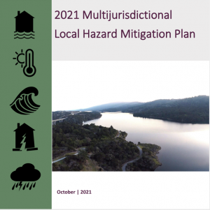
Local Hazard Mitigation Plan (2021)
The Local Hazard Mitigation Plan (LHMP) is a large regional and cross-jurisdictional effort to plan for the reduction of risk from natural and man-made disasters including flooding, drought, wildfire, landslides, severe weather, terrorism, cyber threats, pandemic, and the impact of climate change on hazards, as well as other hazards. It assesses hazard vulnerabilities and identifies mitigation actions that jurisdictions will pursue in order to reduce the level of injury, property damage, and community disruption that might otherwise result from such events.
The Department of Emergency Management led the LHMP update, in coordination with County departments, all twenty cities (including Brisbane), and regional special districts. The process was informed by a steering committee and robust public engagement. Please visit the County of San Mateo's website for additional information and resources related to the LHMP. Volume One and Two of the LHMP are available to view at the bottom of the page.
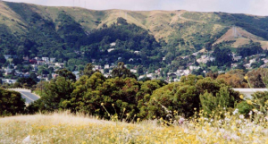
Open Space Plan for the City of Brisbane
The Open Space Plan for the City of Brisbane was approved by the City Council on August 27, 2001. It offers a vision for a comprehensive and integrated open space system for the City and is intended to be a flexible, working tool to guide the City Council in implementing specific environmental policies and programs from the General Plan.
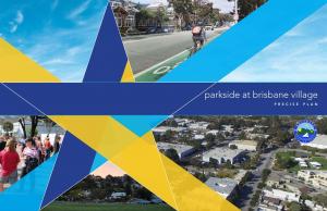
Parkside at Brisbane Village Precise Plan
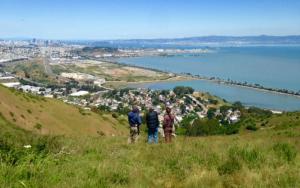
The Parkside at Brisbane Village Precise Plan area includes approximately 25 acres of publicly and privately owned properties adjacent to the Crocker Park and Central Brisbane subareas near the entrance to the City from Bayshore Boulevard. The City Council adopted the Parkside Precise Plan October 30, 2017 and adopted Ordinance 624 on February 1, 2018 which codified the PAOZ-1 and PAOZ-2 residential overlay districts prescribed in the adopted Parkside Precise Plan.
San Bruno Mountain Habitat Conservation Plan
The San Bruno Mountain Habitat Conservation Plan (HCP) was authorized by the U.S. Fish and Wildlife Service and the HCP plan operator is the County of San Mateo. Certain areas of Brisbane are within the HCP boundaries and therefore development plans within these areas require environmental review/biological assessment in addition to the usual planning permits that would be required. The HCP extends into the following Brisbane planning areas: Northeast Ridge, Northwest Bayshore, Brisbane Acres, Southwest Bayshore, Quarry, Owl and Buckeye Canyons. For further information on development requirements within the HCP, contact City planning staff.
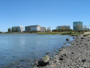
Sierra Point Design Guidelines
The Sierra Point Design Guidelines were originally adopted in the early 1980's to facilitate development of Sierra Point as a suburban office park and have been updated from time to time to address particular building sites or design standards. The latest update was approved by City Council in 2001 (Combined Site and Architectural Design Guidelines, Sierra Point - 2001) and is available below. Starting in 2005, the City began the process of comprehensively updating the Design Guidelines. However, this process was put on hold indefinitely in 2012. The tentative draft guideline updates can be accessed on the old archived City website.